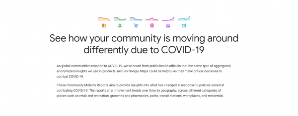
As global communities respond to the COVID-19 pandemic, there has been an increasing emphasis on public health strategies, like social distancing measures, to slow the rate of transmission. In response to feedback from public health officials that data could be helpful for making critical decisions to combat COVID-19, Google has published an early release of COVID-19 Community Mobility Reports.
Similar to Google Maps—which uses aggregated and anonymized data to identify when restaurants, businesses, grocery stores, and other establishments tend to be the most crowded—these reports use aggregated, anonymized data to provide insights into what has changed in response to work from home, shelter in place, and other policies aimed at flattening the curve of this pandemic. In a new Washington Post article, NACCHO’s CEO Lori Tremmel Freeman noted that, “Having access to these data can allow real-time adjustments to be made in social distancing decisions to further prevent the spread of COVID-19.”
The reports use aggregated, anonymized data to chart movement trends over time by geography, across different high-level categories of places such as retail and recreation, groceries and pharmacies, parks, transit stations, workplaces, and residential. The reports show trends over several weeks, with the most recent information representing 48-to-72 hours prior. While reports display a percentage point increase or decrease in visits, they do not share the absolute number of visits. To protect people’s privacy, no personally identifiable information, like an individual’s location, contacts or movement, is made available at any point.
To learn more, read this blog from Karen DeSalvo, MD, M.P.H., Chief Health Officer, Google Health and Jen Fitzpatrick, SVP, Geo about this new initiative and its implications for helping public health officials combat COVID-19.